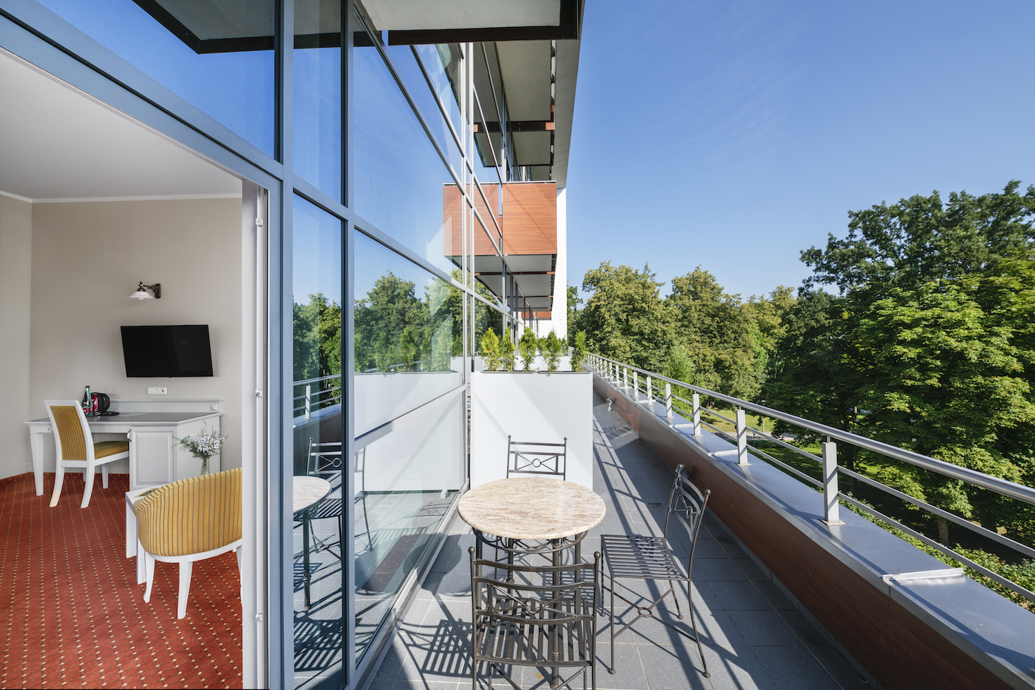
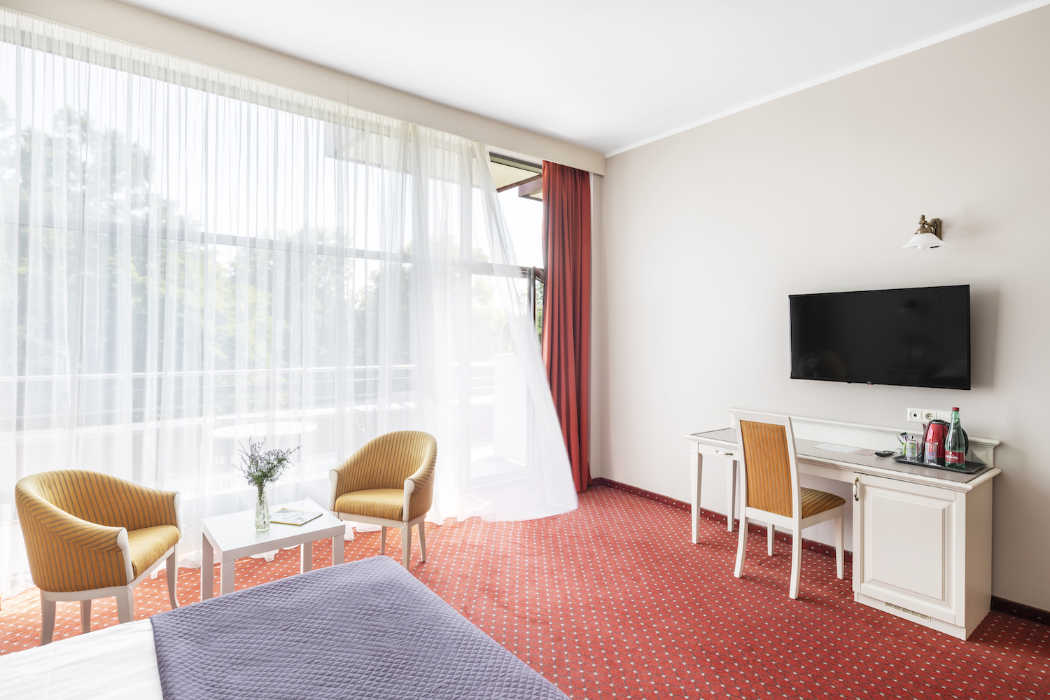
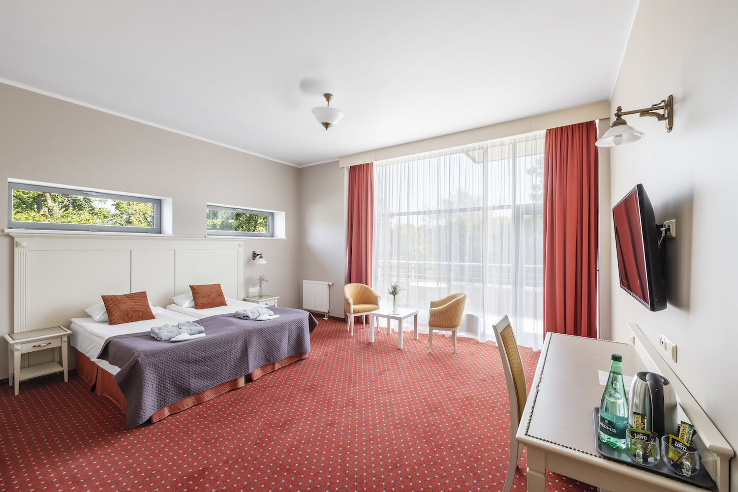
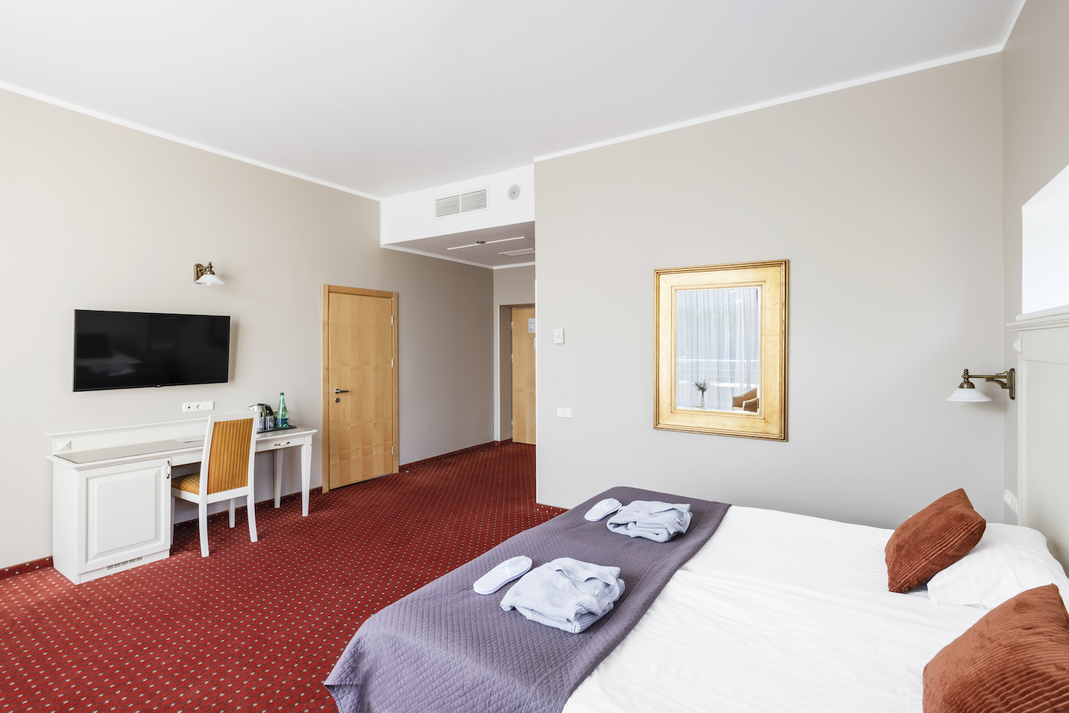
Superior Double Room with Terrace (30 m²)
Enjoy the benefits of a spacious room and relax on your private terrace. Located on the third floor of the modern glass building, these rooms are ideal for guests seeking comfort and a quiet morning coffee outdoors. One or two extra beds or a baby cot can be arranged upon request.
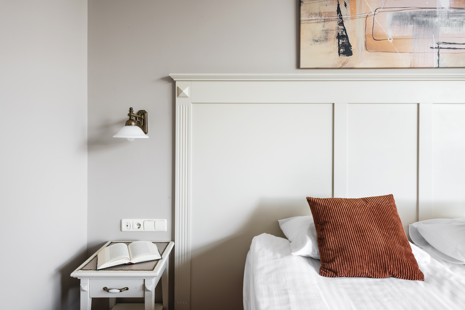
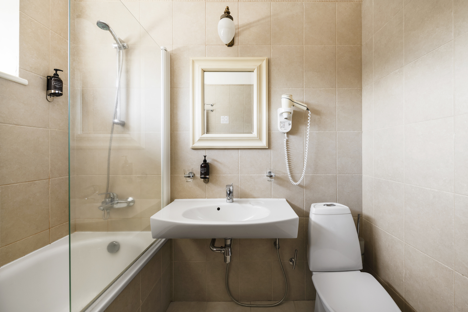
Room amenities: Bathrobes • Slippers • Toiletries • TV • Safe • Work desk • Air-conditioning • Hair dryer • Internal telephone • Heated bathroom floor • Wi-Fi • 220 V
Complimentary access for guests: Swimming pool • Sauna area • Fitness room • Children’s playroom
*Additional services available: In-room dining • Flower arrangements • Pet accommodation
*Additional charges apply